- main page Project introduction News, events calendar, photo gallery Cycle map Professional publications Thematic routes Services Natural and Cultural values, settlements Mobil applications
The GPS survey of the cycling tracks is ready

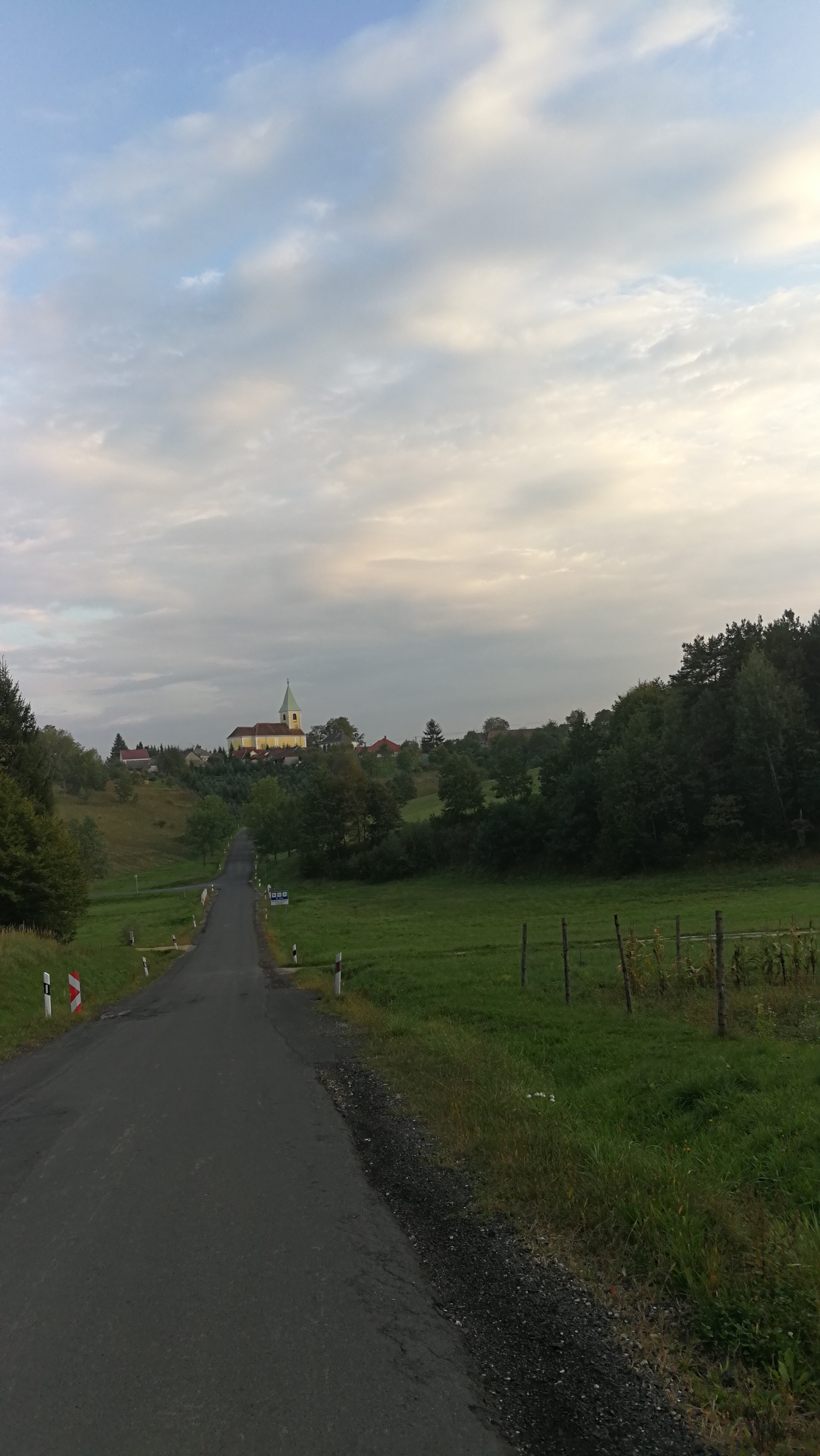
The survey in the framework of the ICC project covers the area of each partners and makes possible mapping and planning the signposting of the slip-roads by which the cycling tourists can range over the sights of the region and get information on them.
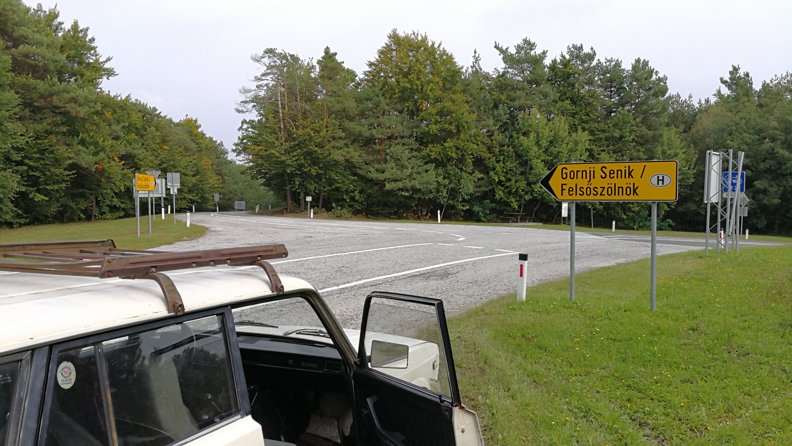
It was a challenge for the partners to mark out the routes even in the first period of the project, since the integration and complementing of the existing cycling networks and paths required special discussions. Thus they have been finalized during the project meetings.
The slip-roads connecting to the EuroVelo13 Iron Curtain Cycling route provide opportunities for the cycling tourists to turn off or get back along the EuroVelo trail as a cycling arterial road, while they lead them to the sporadically located natural and cultural values of the region.
The GPS surveys have been made in gpx and klm format, furthermore we have finalized the POIs (accomodations, restaurants, cultural and natural sights) belonging to each routes and their coordinates according to the partners’ instructions.
Photo gallery