- main page Project introduction News, events calendar, photo gallery Cycle map Professional publications Thematic routes Services Natural and Cultural values, settlements Mobil applications
Western part of Őrség-Goričko
Type of the trip: individual bike tour
Difficulty: this route is for advanced cyclists (This tour is really for bikers in love with mountains.)
Route conditions: paved bike path and road, Occasionally, the route climbs up or hilly
Duration: 1-2-3 day(s)
Recommended bicycle: trekking or road bike
Route description:
The route starts in Őriszentpéter, and its western part first crosses Őrség then goes back to Hungary after a nice meander in Slovenia. The following settlements are the most important ones on this way: Szentgotthárd, Alsószölnök, Hármashatár, Grad, Šalovci, Hodoš, Bajánsenye.
The view is magnificent, but the road rises more than a 1000 meters. It is a real sports achievement to cover this route.
Distances in km
|
Őriszentpéter |
|
0 |
|
Szalafő |
(Sola) |
7 |
|
Szentgotthárd-Farkasfa |
|
12 |
|
Szentgotthárd |
(Monošter, 46.9531, 16.2736) |
26 |
|
Szakonyfalu |
(Sakalovci) |
32 |
|
Alsószölnök |
(Dolnji Senik, 46.9275, 16.2025) |
39 |
|
Felsőszölnök |
(Gornji Senik) |
46 |
|
Martinje |
(Magasfok) |
51 |
|
Tromejnik - Hármashatár |
(Tromejnik, 46.8691, 16.1134) |
55 |
|
Kuzma |
|
65 |
|
Sotina (Hegyszoros) |
|
73 |
|
Rogašovci (Szarvaslak) |
|
76 |
|
Grad |
(Felsőlendva, 46.7978, 16.0983) |
85 |
|
Mačkovci |
(Mátyásdomb) |
100 |
|
Gornji Petrovci |
(Péterhegy) |
108 |
|
Šalovci |
(Sal, 46.8250, 16.2944) |
114 |
|
Hodoš |
(Őrihodos, 46.8277, 16.3208) |
117 |
|
Bajánsenye |
(46.8017, 16.3842) |
122 |
|
Őriszentpéter |
|
128 |
Attractions along the route
Alsószölnök (Dolnji Senik)
- Weir (46.9364, 16.2053)
- Baroque Church of Annunciation
- Sculptures (Virgin Mary, Saint Florian).
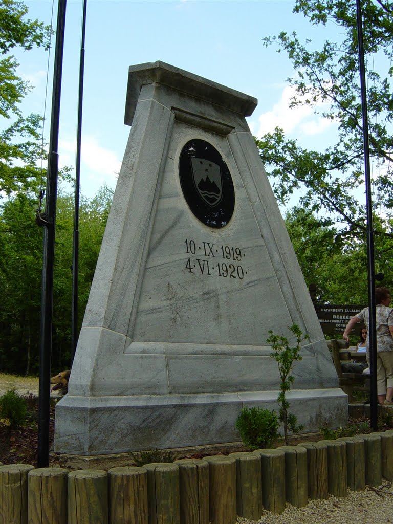
Hármashatár (Tromejnik, Dreiländerecke)
- Trianon Treaty
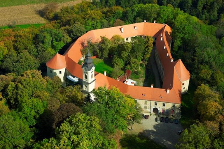
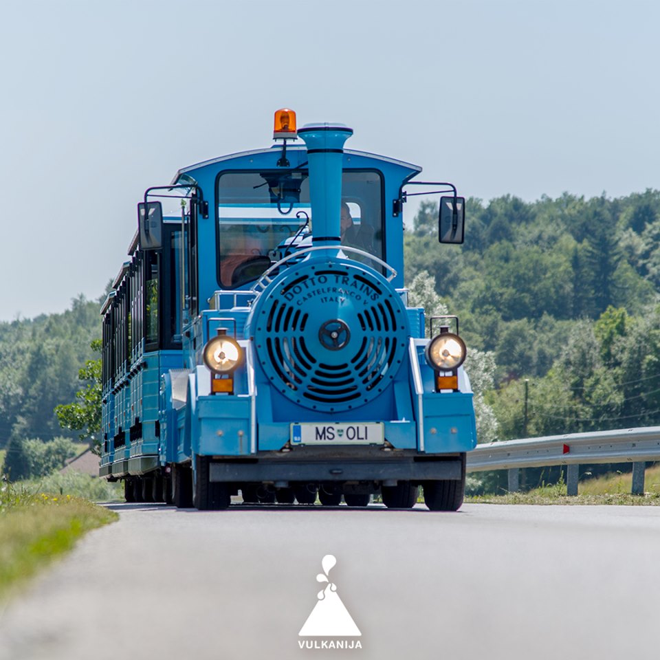
Grad (Felsőlendva)
- Church of the Assumption of Mary
- Castle
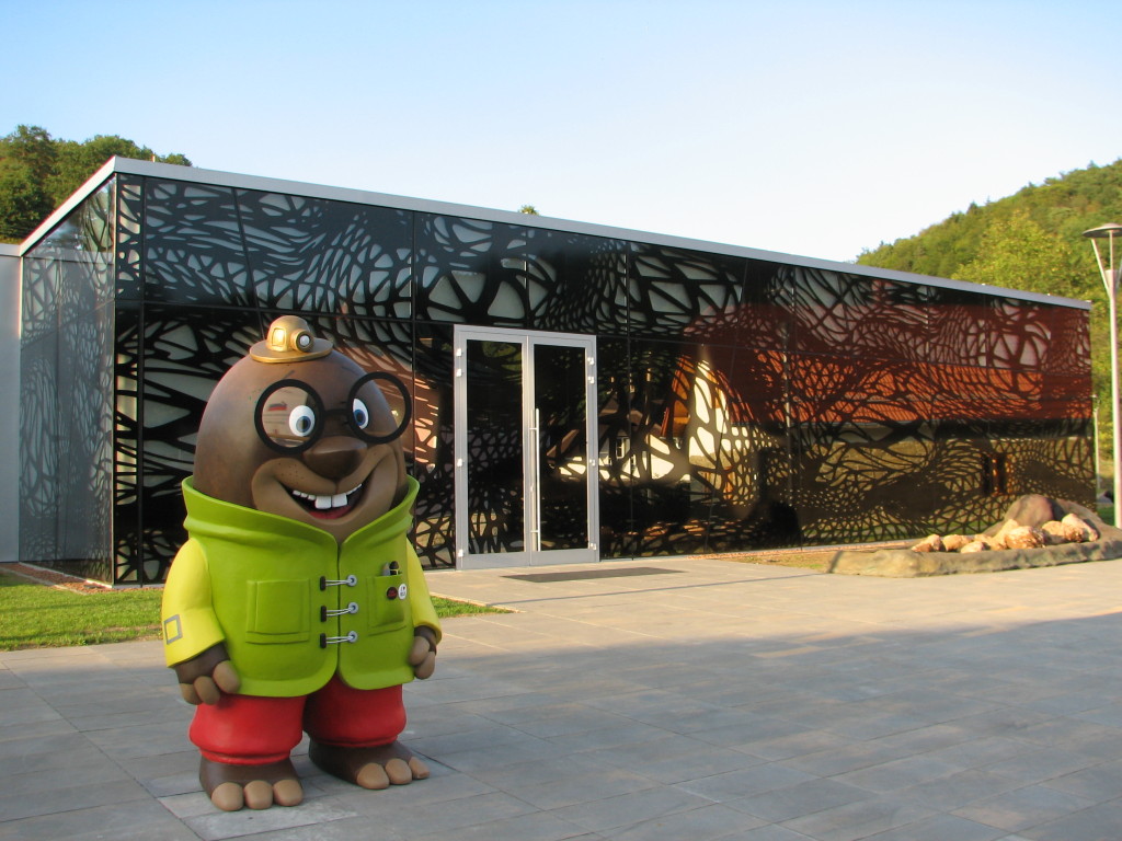
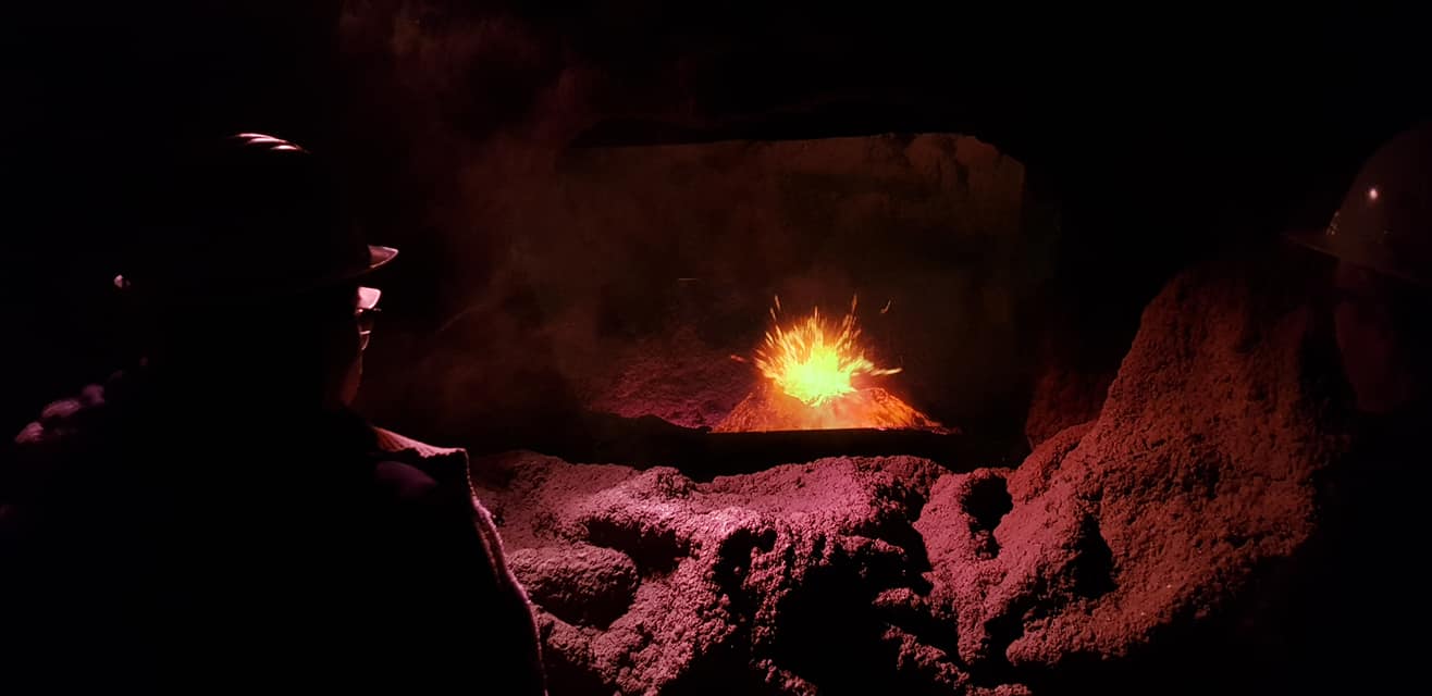
- Vulkanija Park
- Center of the Rába–Őrség–Goričko Naturpark.
Šalovci (Sal)
- Belfry
- Korenika ecosocial farm
Attractions near the route (tips)
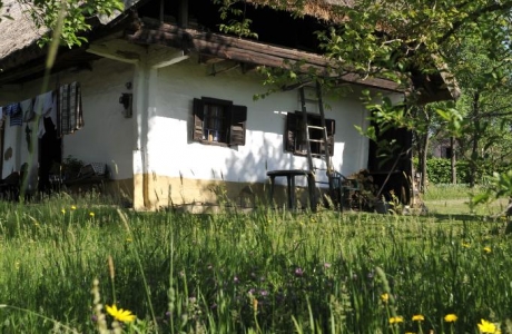
Őriszentpéter (Petrovci)
- log barn
- brick furnace
- Edit Szikszay Ethnographic Collection
- Visitor Center of Őrség National Park
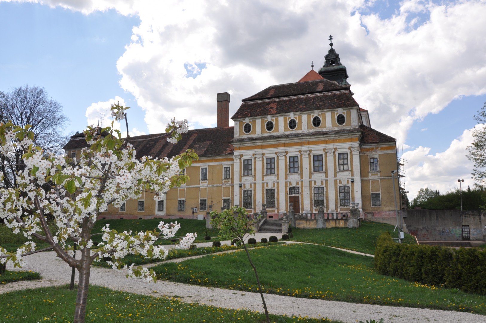
Szentgotthárd (Monošter)
- Pável Ágoston Museum of Local History and the Slovenian Minority
- Cistercian Monastery
- Church of Virgin Mary
- St. Gotthard Spa & Wellness Thermal Bath
- Lake Hársas (46.9394, 16.3139)
Hodoš (Őrihodos)
- Watchtower (46.8235, 16.3370)
- Lutheran Church
- 150-year-old village well (46.8353, 16.3163)
- Lake Hodoš (46.8370, 16.3087)
Accommodation options
Photo gallery